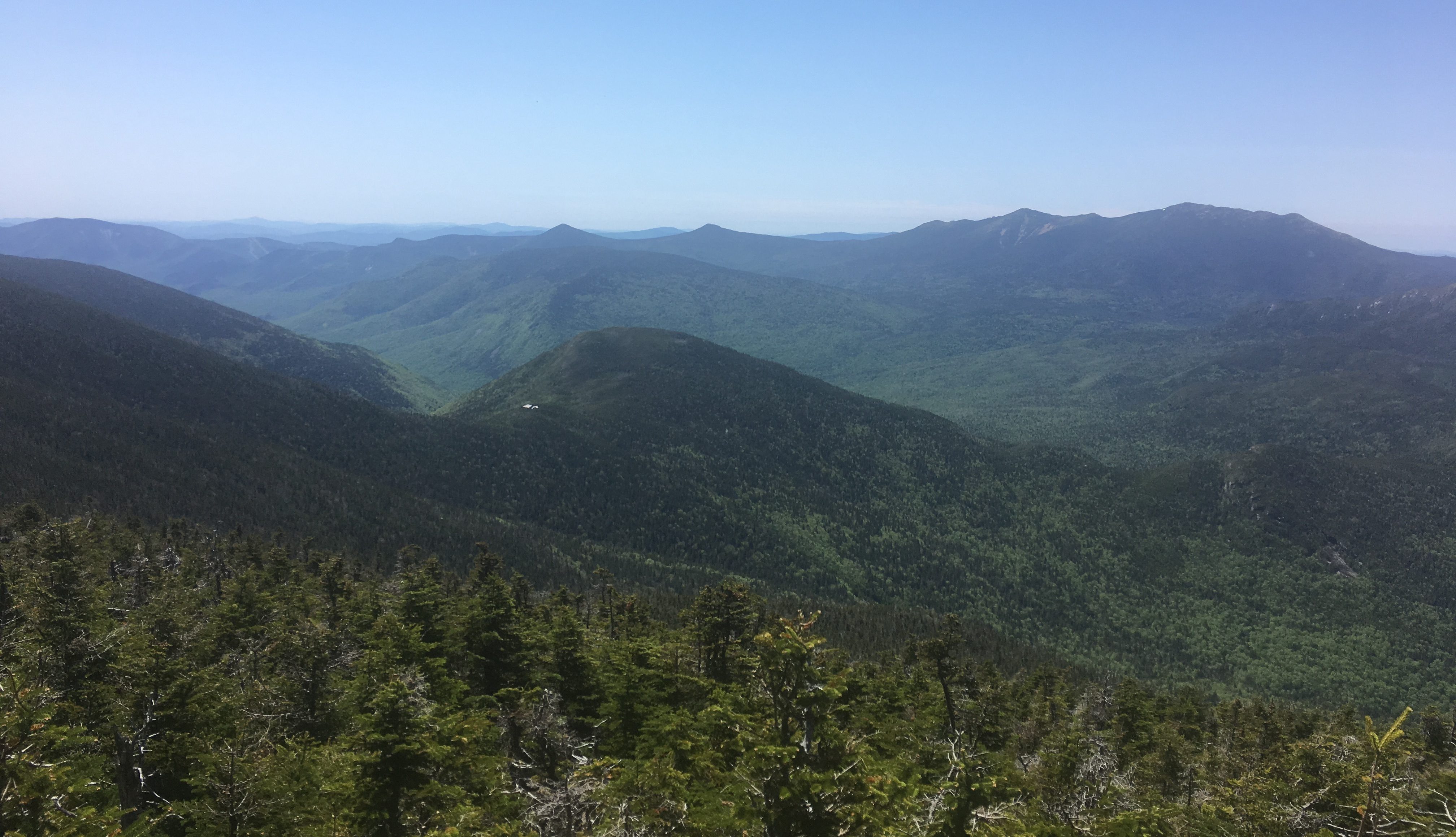
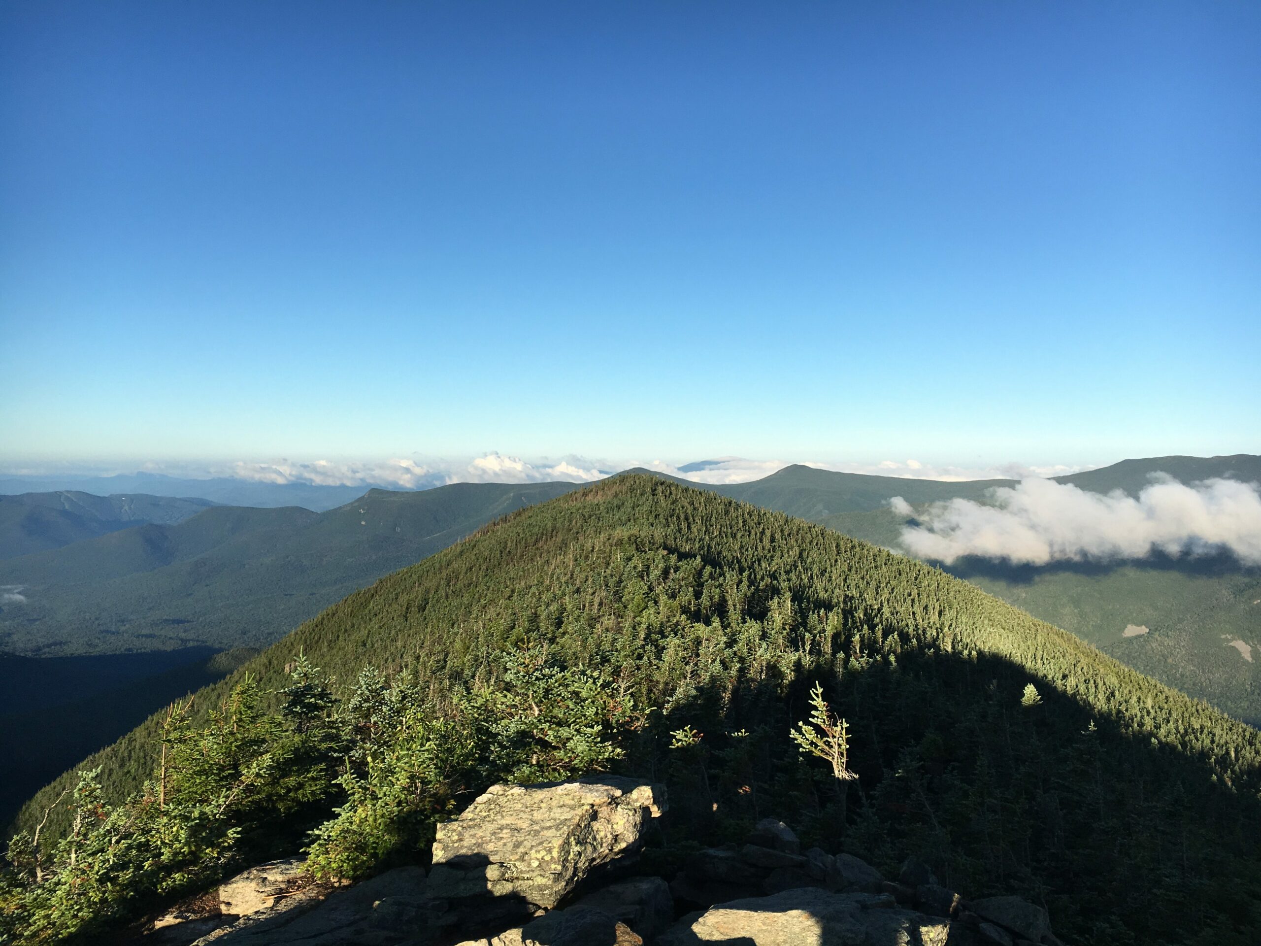
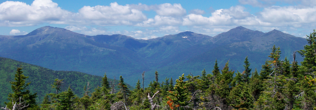
Galehead Mountain is a 4,024 foot mountain in the Twin Range in Franconia, New Hampshire in the White Mountains. The summit itself does not have any...
Galehead Mountain Hiking Trail Guide: Map, Trail Descriptions, Pictures & More
read more
Your Basecamp for Outdoor Knowledge
We’ve created a hike finder tool that allows you to find hikes based off of what you need. Search by location, time, hike distance, dog friendliness, and more.
We write and update dozens of gear reviews and lists of the top gear in various categories to help you save money while getting gear that lasts.
For beginners to experts. Through informative, engaging, and actionable content, we arm and empower readers to adventure more in their lives.
Galehead Mountain is a 4,024 foot mountain in the Twin Range in Franconia, New Hampshire in the White Mountains. The summit itself does not have any...
North and South Baldface are two peaks, involving a ridge loop hike offering nearly continuous views in all directions. They are located in...
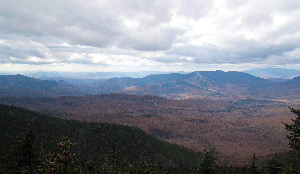
Mount Tecumseh is a 4,003 foot mountain located in the Sandwich Range of the White Mountains in New Hampshire. It is the shortest mountain on the...
Mount Avalon is a 3,430 foot mountain located in Grafton County in the White Mountains of New Hampshire. The beginning of the trail to reach the...
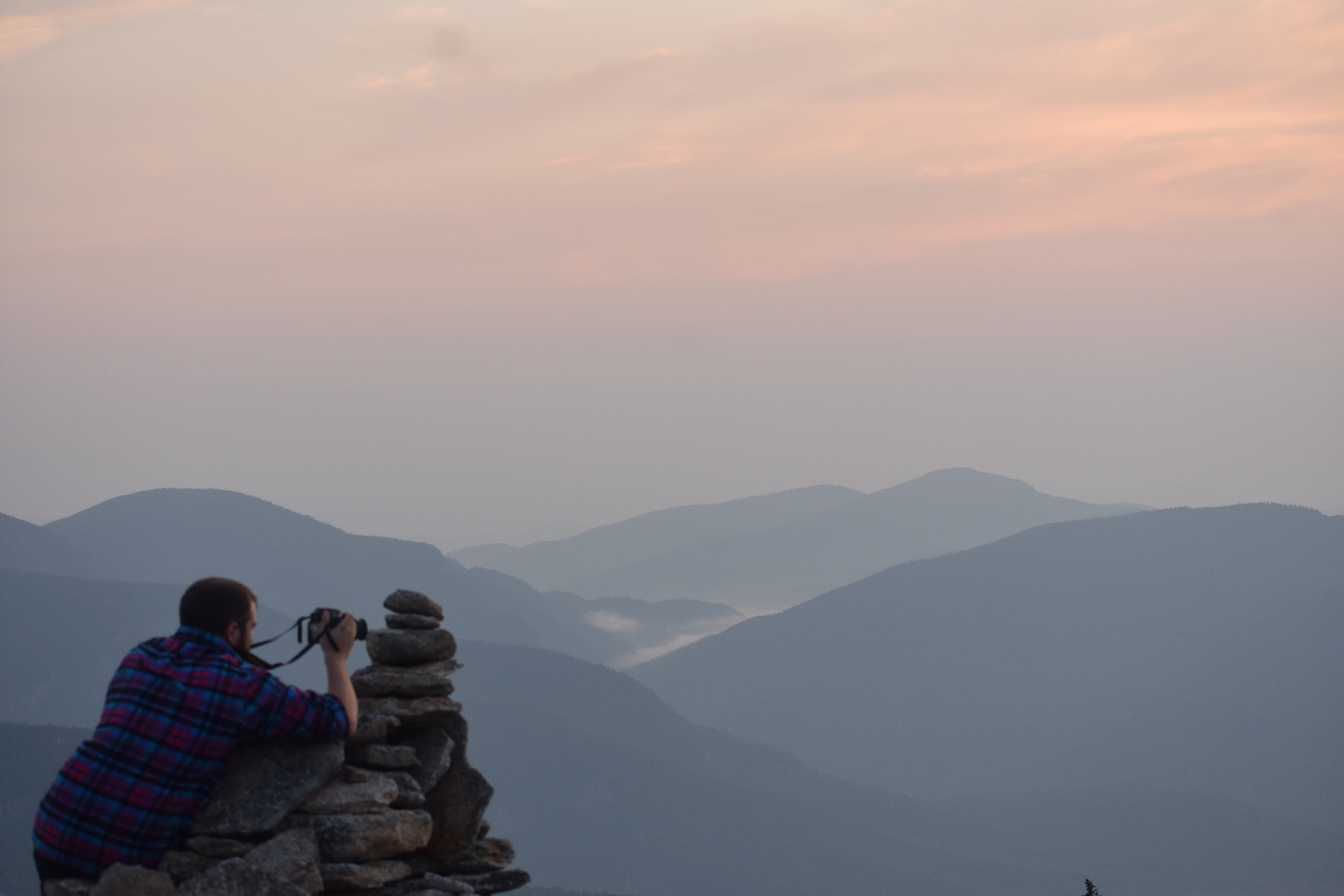
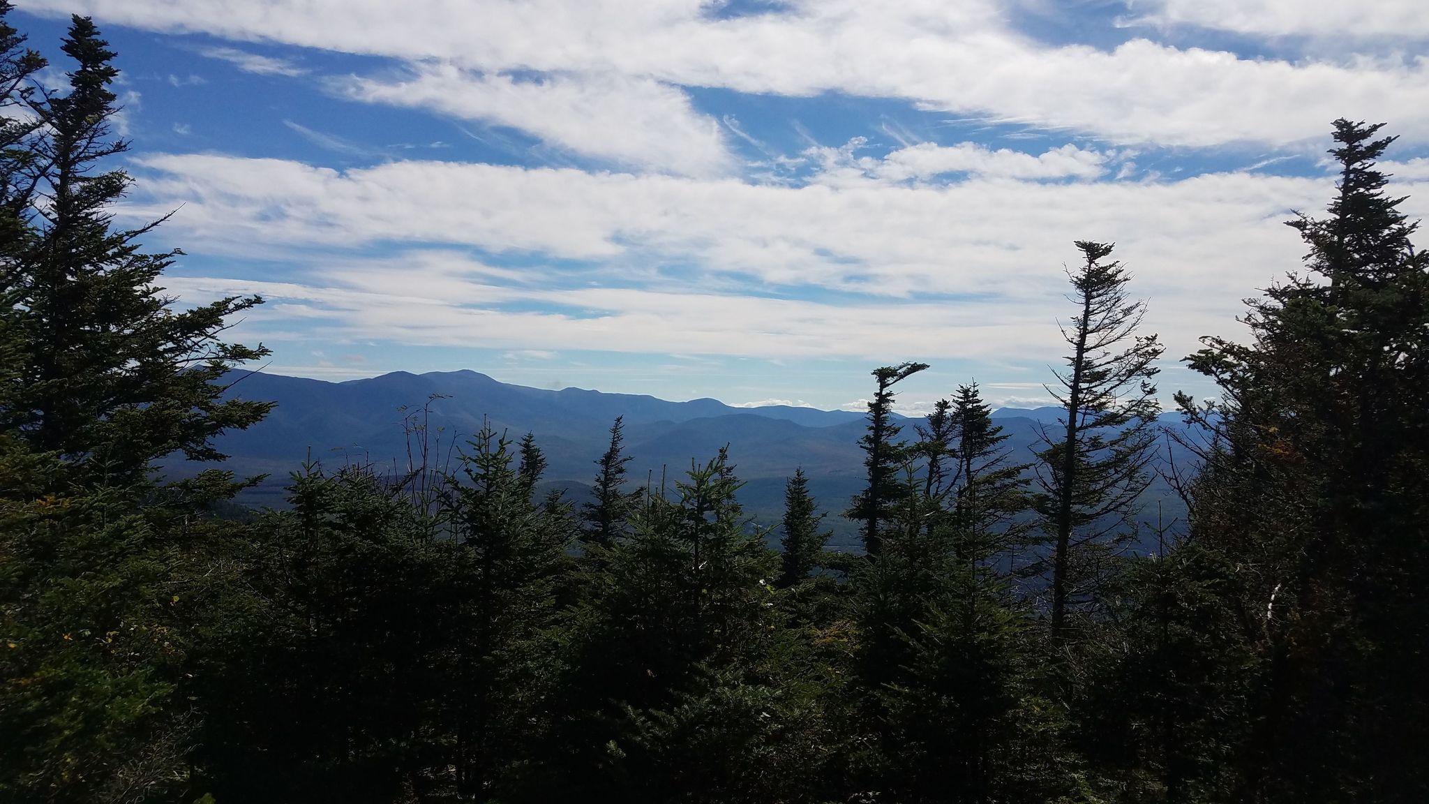
Interested in hiking in the White Mountains of New Hampshire? There are options for all age levels, experience levels and interests. This post will...
Mount Waumbek is a 4,006 foot mountain located in the Pliny Range in the White Mountains of New Hampshire. It is the 3rd shortest of the 48 New...
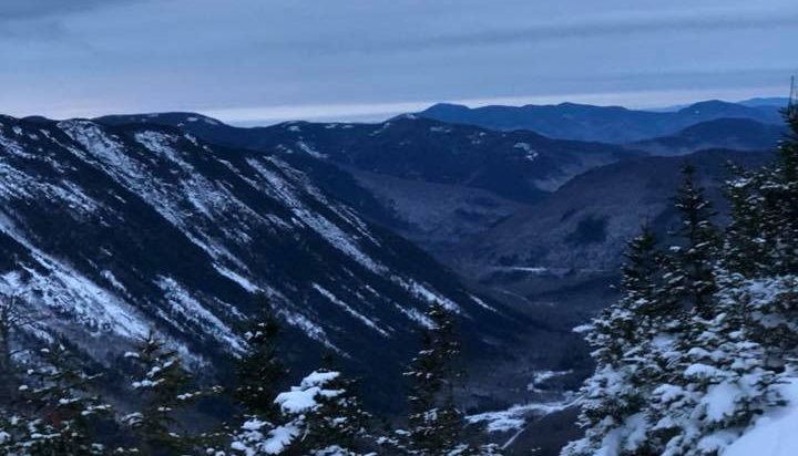
Mount Hale is a 4,055 foot mountain located in the Twin Range in Bethlehem, New Hampshire, Grafton County in the White Mountains. The shortest trail...

Mount Jefferson is a 5,712 foot mountain located in the Presidential Range of the White Mountains of New Hampshire. It is the third tallest mountain...
Mount Monroe is a 5,372 foot mountain in the Presidential Range in the White Mountains of New Hampshire. It is the 4th highest mountain on the...
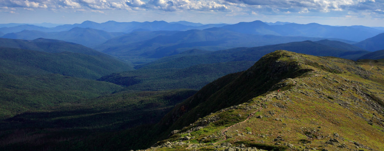
The summit of Mount Moriah is located at 4,049 feet, and 5 miles Southeast of Gorham, NH. It lies within the Carter-Moriah Range in the White...
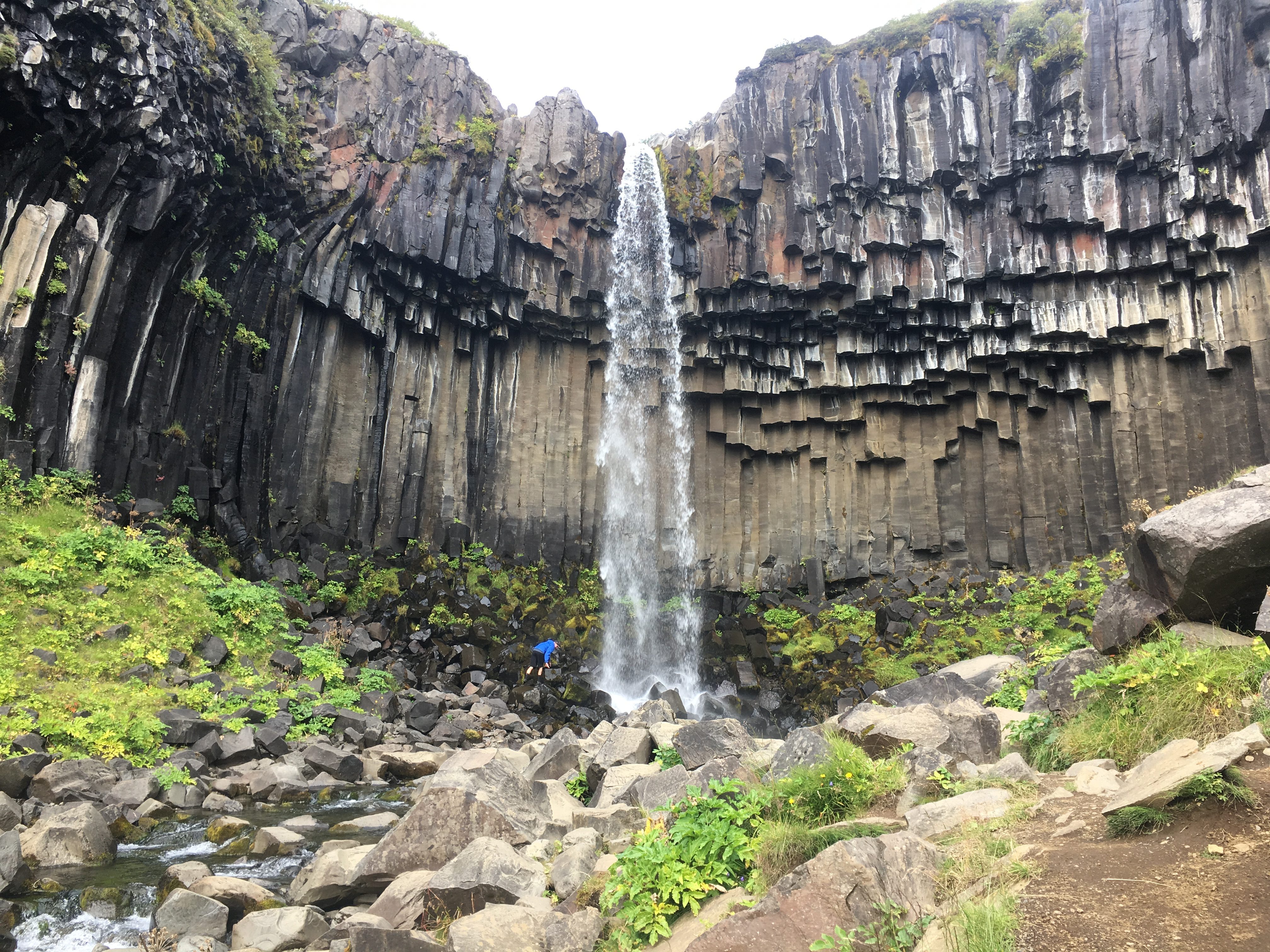
Difficulty: Easy Distance: 3 Kilometers Round Trip (1.86 miles) Waterfall Height: 20 Meters (65 feet) Elevation Gain: 140 Meters (460 feet)...
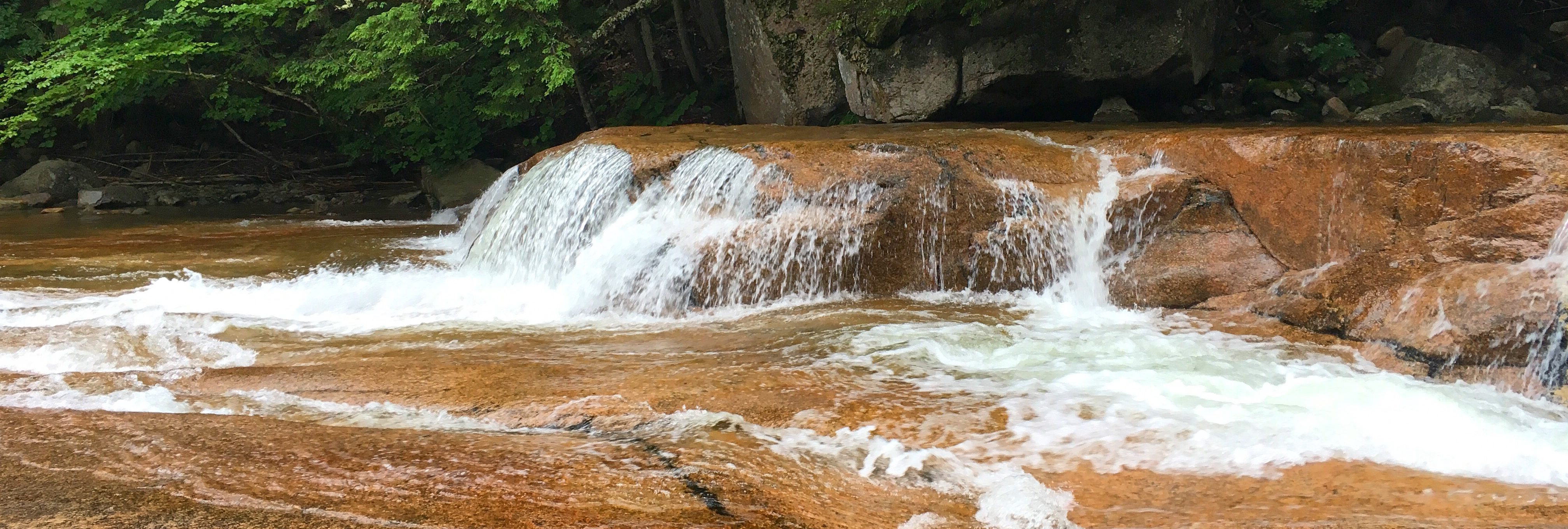
The White Mountains of New Hampshire offer not only beautiful hiking, but also so great fly fishing. With many streams supporting native brook trout...