Pikes Peak is one of the most recognizable peaks in the nation. Standing at 14,115 feet, Pikes Peak looms over the towns to the east, features a road to the summit, a cog railway, and is the site of an incredible mountain marathon every year. Pikes Peak makes for a difficult day of hiking, via any route, so we’ve included below everything you need for either route.
Distance –14 miles round trip (22.53 km)
Height – 14,115 feet (4,302.25 m)
Elevation gain – 4,300 feet (1,310.64 m)
Duration – 9 to 12 hours (book time)
Difficulty – Strenuous
Class: Class 2 Hike
Seasons – Year-round (caution and experience needed in winter – see below)
Trailhead Location – Crags Campground – 10,000 feet (directions below)
Trail Maps
We have built the below trail map by combining gpx files for both the Barr Trail (East Route) and the Devil’s Playground from the Crags (Northwest Route). Below you will see the trails for each option. You can zoom in and take a screenshot of the route you plan on taking.
Trails
Crags Trailhead: 14 Miles Round Trip | 4,300 Feet Elevation Gain | Class 2
This route up Pikes Peak features a lot less mileage and a lot less elevation gain than the Barr trail, making it the far easier option. This is a well traveled route, easy to follow, and features little to no very difficult sections.
In winter months, the road is closed to Crags Campground, adding 1.1 miles each way of road walking.
Beginning at Crags Campground, hikers begin by crossing the Fourmile Creek on a small bridge. Only shortly after this crossing, hikers reach a junction of the Crags trail (left), and trail number #664a (right). Hikers stay on the #664A trail towards Devils Playground Trail and Pikes Peak Summit just shortly after the #664a sign indicating you are on the correct trail.
The trail is straightforward, and gradual gains until hitting treeline. Hikers at treeline ascend a bit of a steeper hill until gaining the ridge at 11,900 feet. Once gaining the ridge, the summit can be seen, and the route is very easy to see and follow.
The trail will take you through Devil’s Playground, and eventually to Pikes Peak Road. Once reaching Pikes Peak Road, hikers cross the road, step over a wire, and begin along the trail that parallels the road. It is not permitted for hikers to walk on the road other than to cross it.
Hikers will simply follow the cairns and paths along this route which will breach from the road a bit, and join back up. The hiking is relatively easy until the last 500 feet of elevation gain that is quite steep. The trail is marked with Cairns. Once you ascend up this last push, you will be greeted with lots of buildings, cars, and people (some views as well).
Barr Trail – Manitou Springs Route: 24 Miles Round Trip | 7,600 Feet Elevation Gain | Class 1
This is a long day with tons of elevation gain. Many choose to take this route in an overnight with the camping options (listed below), but many tackle this in one day as well.
This trailhead has parking fees (directions below) and is extremely busy and fills up quickly during summer months. This route has quite a few junctions, but all is very well marked. Simply remain in the Barr trail until reaching the summit.
Around 6 miles in, hikers will reach Barr Camp at 10,100 feet, (about half way to the summit) where many choose to stay overnight to make this trek a little more manageable. Details on camping information is below.
Hiking Pikes Peak in Winter
Both routes above are viable winter options. Both are far less traveled in winter months, and both feature relatively long hikes with beautiful views. The Crags trail becomes 1.1 miles longer each way, making the overall winter trip from the Crags Campground 16.2 miles.
Length, and difficulty aside, this is often one of the safest winter 14ers due to other hikers, due to the road, and summit buildings. With this being said, no one should rely on the added safety of a road, or of summit warmth and food. Prepare for this hike as if it is another remote 14er without a safety net.
The Crags trailhead is the preferred winter option during tougher snow conditions. The mileage of the Barr Trail makes this trek extremely difficult if conditions are not perfect.
Camping At Pikes Peak
Barr Trail Camping Options
The Barr Trail has various camping options. The most known is the Barr Camp which has a main cabin, tent sites, a lean-to shelters and an upper cabin. You can reserve sites here: https://barrcamp.com/
The Barr Trail is extremely busy in summer, and is filled with many hikers turning this into a weekend backpacking trip.
Crags / Devil’s Playground Camping Options
Crags Campground has 17 sites for tents, and small rvs/trailers. You can read about fees, options and operation times here: https://www.fs.usda.gov/recarea/psicc/recarea/?recid=12623
Current weather conditions:
Here is the detailed weather forecast for the next few days. We highly recommend you check out the mountain forecast for this region the morning of your hike.
Midland, CO
Overnight
Mostly clear, with a low around 27. Southwest wind 15 to 25 mph.
Wednesday
Mostly sunny, with a high near 38. West southwest wind around 15 mph.
Wednesday Night
Partly cloudy, with a low around 26. Southwest wind 15 to 20 mph.
Thursday
A chance of snow showers after noon. Mostly sunny, with a high near 35. Southwest wind 15 to 30 mph, with gusts as high as 45 mph. Chance of precipitation is 30%.
Thursday Night
A chance of snow showers and a slight chance of thunderstorms. Mostly cloudy, with a low around 20. West wind 25 to 35 mph, with gusts as high as 50 mph. Chance of precipitation is 40%. Little or no snow accumulation expected.
Friday
Snow showers likely and a chance of thunderstorms after noon. Partly sunny, with a high near 32. West wind 20 to 35 mph, with gusts as high as 50 mph. Chance of precipitation is 60%. New snow accumulation of less than half an inch possible.
Friday Night
Snow showers likely and a slight chance of thunderstorms. Mostly cloudy, with a low around 17. West wind around 15 mph. Chance of precipitation is 70%. New snow accumulation of 1 to 3 inches possible.
Directions & Parking
The Barr Trailhead is accessible year round. Add 1.1 miles each way of road walking in winter for the Crags Trail.
There is a parking fee for the Barr Trail.
Directions to Crags Campground
Directions to Barr Trailhead
Additional Pictures
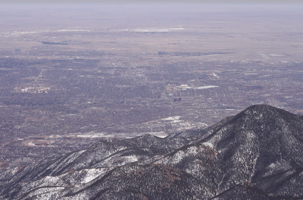
Views of Colorado Springs From Pikes Peak
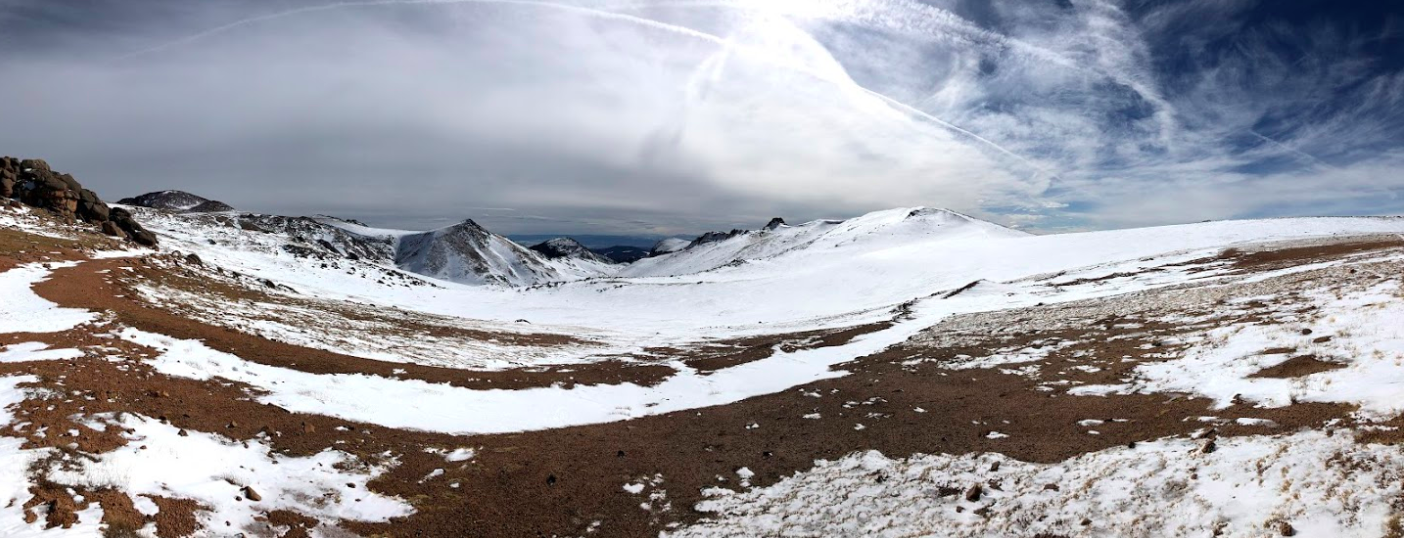
Views From Devi’s Playground
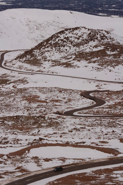
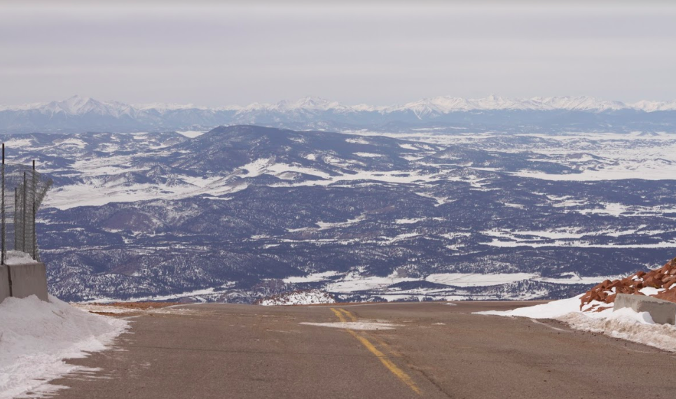
Views Back at Pikes Peak Road From Last Summit Push Along Trail
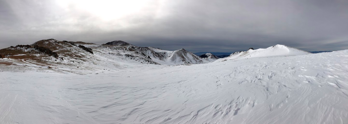
Views along the ridge
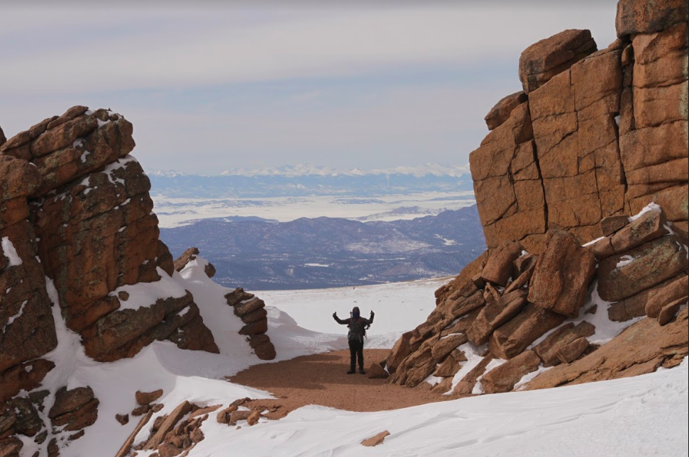
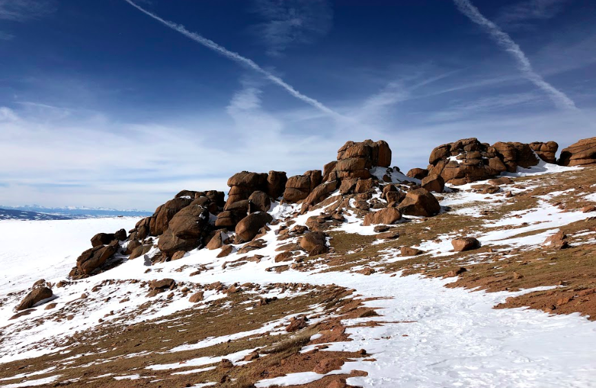
Pikes Peak Summit Views
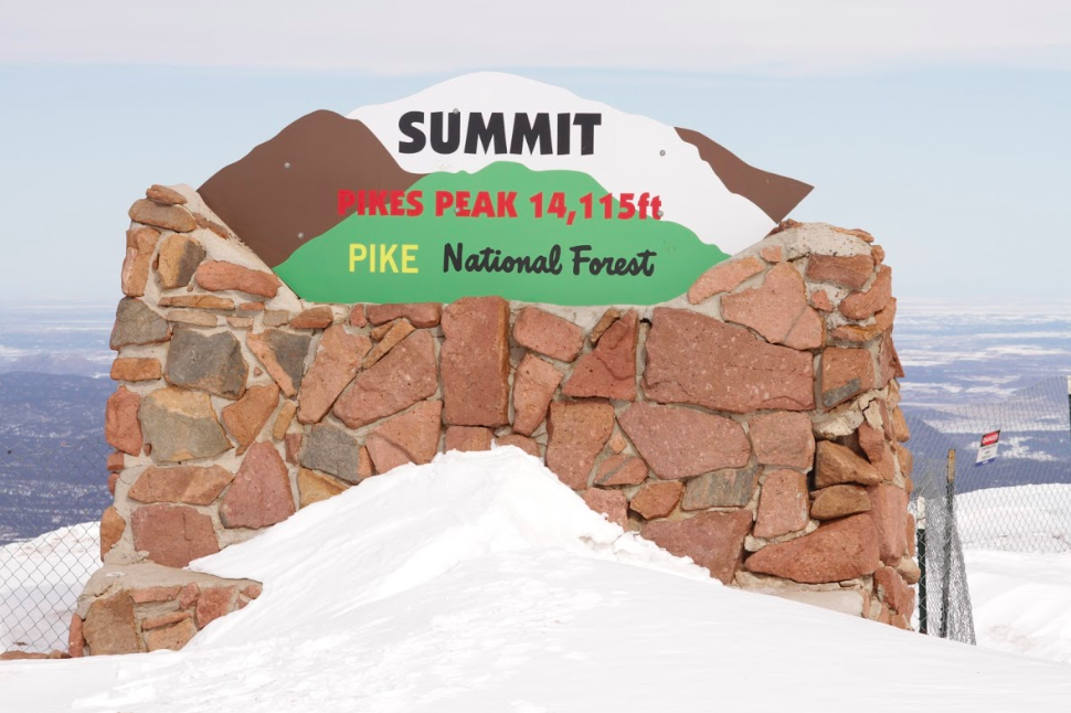
Pikes Peak Summit Sign
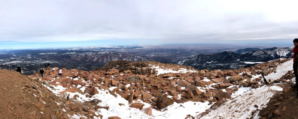
Pikes Peak Summit Pano Views
Looking Back at Devil’s Playground
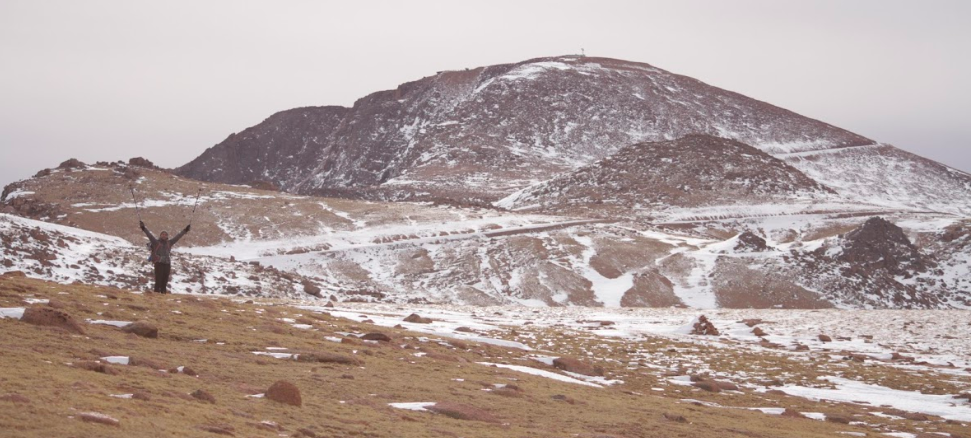
Hiking Pikes Peak – Colorado
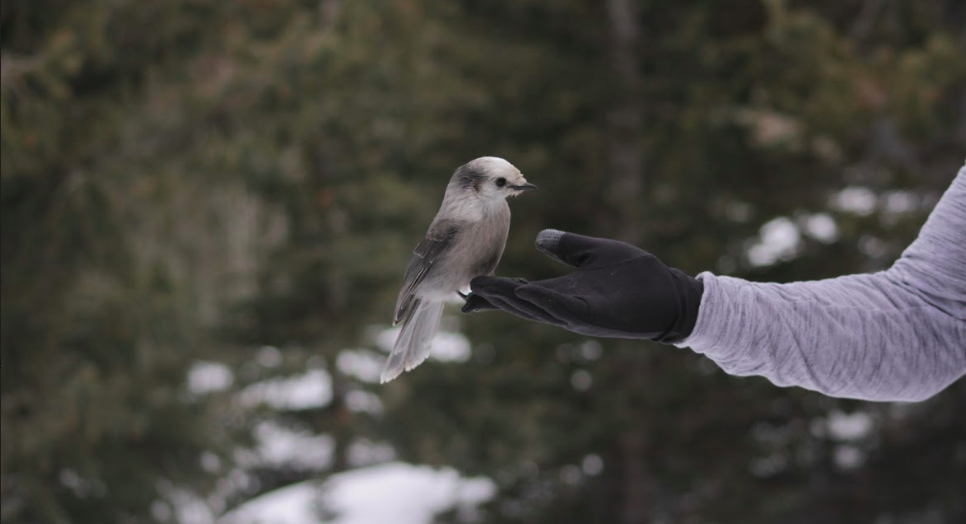
Gray Jays on Pikes Peak
Devi’s Playground
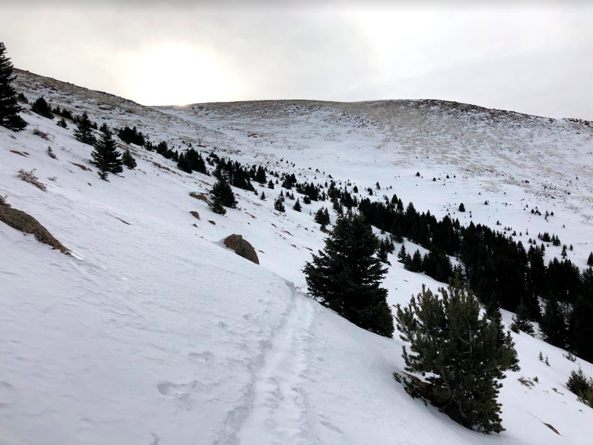
Breaking Treeline on Devils Playground Trail

Max DesMarais is the founder of hikingandfishing.com. He has a passion for the outdoors and making outdoor education and adventure more accessible. Max is a published author for various outdoor adventure, travel, and marketing websites. He is an experienced hiker, backpacker, fly fisherman, backcountry skier, trail runner, and spends his free time in the outdoors. These adventures allow him to test gear, learn new skills, and experience new places so that he can educate others. Max grew up hiking all around New Hampshire and New England. He became obsessed with the New Hampshire mountains, and the NH 48, where he guided hikes and trail runs in the White Mountains. Since moving out west, Max has continued climbed all of the Colorado 14ers, is always testing gear, learning skills, gaining experience, and building his endurance for outdoor sports. You can read more about his experience here: hikingandfishing/about