North and South Baldface are two peaks, involving a ridge loop hike offering nearly continuous views in all directions. They are located in the Baldface-Royce Range in the White Mountains of New Hampshire. They are also listed on New Hampshire’s official 52-With-A-View list.
North Baldface elevation: 3,566 feet
South Baldface elevation: 3,556 feet
Elevation gain: 3,569 feet
Distance: 9.5 miles roundtrip
Duration (book time): 5 hours
Difficulty: Strenuous
Trails
Baldface Circle Trail
The Baldface Circle Trail creates a loop starting from the east spanning across both peaks. Start your hike on the Baldface Circle Trail until you reach a sign for the gem pool, a short spur trail leading to a swimming hole. To summit the South peak first, the more popular option, continue for roughly 2.1 miles on the Baldface Circle Trail until you reach the summit of South Baldface with expansive views of the region. Once the trail reaches the open rocky section, it becomes a lot of rock scrambling over granite. It is important to be very cautious here, especially during wet or icy times.
To continue your hike, follow the Baldface Circle Trail for roughly 2.3 miles until reaching the summit of North Baldface. To descend, follow the Baldface Circle Trail from the North summit until you reach the road in which you started.
This entire hike is stunning. With extended periods above the trees, the views in all directions are fantastic.
Trail map

Other trail options
To make the Baldface Loop a bit longer, take the Slippery Brook Trail, which eventually connects with the Baldface Knob Trail, until the summit of South Baldface, then connecting back to the Baldface Circle Trail, making the total mileage 9.7 miles roundtrip with 3,425 feet of elevation gain.

Camping and overnight hiking options
The South Baldface shelter is located just below the steep section of the eastern side of South Baldface. The Mountain Pond Shelter is located on the Mountain Pond Loop trail off Slippery Brook Rd, for those who choose to use the longer approach via Slippery Brook’s southern side.
Parking
The parking area for the Baldface Circle trail is a small parking area on the opposite side of the street from where the trail begins. The parking area is plowed during the winter.
Directions
To get to the Baldface Cirle Trail Parking Area
From Conway, New Hampshire, head East on 302 to Fryeburg, Maine. Turn left onto Route 113 North and continue on the road for about 20 miles. The parking lot is small, located directly after a large brown sign. The trail is located on the opposite side of the road from the parking lot, a coupe hundred feet heading North. *NOTE* The parking area is plowed and accessible during the winter.
Weather Forecast
The majority of the Baldface Loop Trail is above treeline and exposed. Though they aren’t 4,000 footers, they are well above 3k feet and the weather can be severe. Check the Mount Washington Observatory higher summits forecast before heading out. The next four days of weather is below.
Gorham, NH
Additional photos
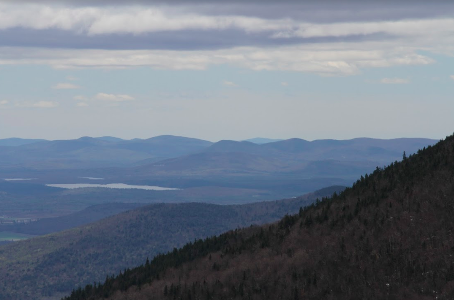
North Baldface Views
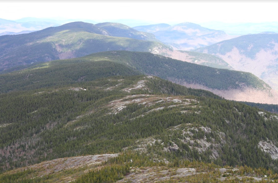
North Baldface Trail Views
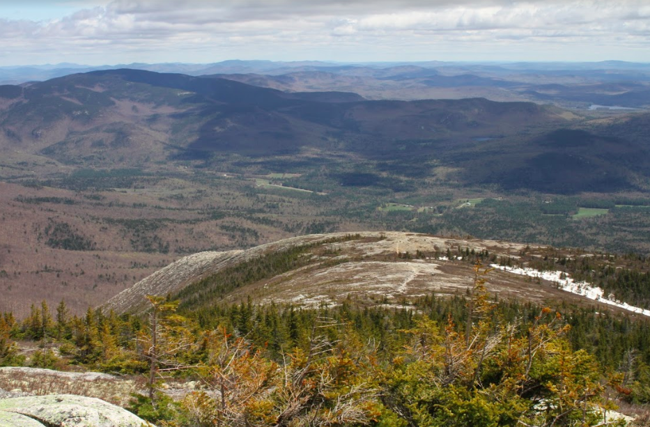
South Baldface Views
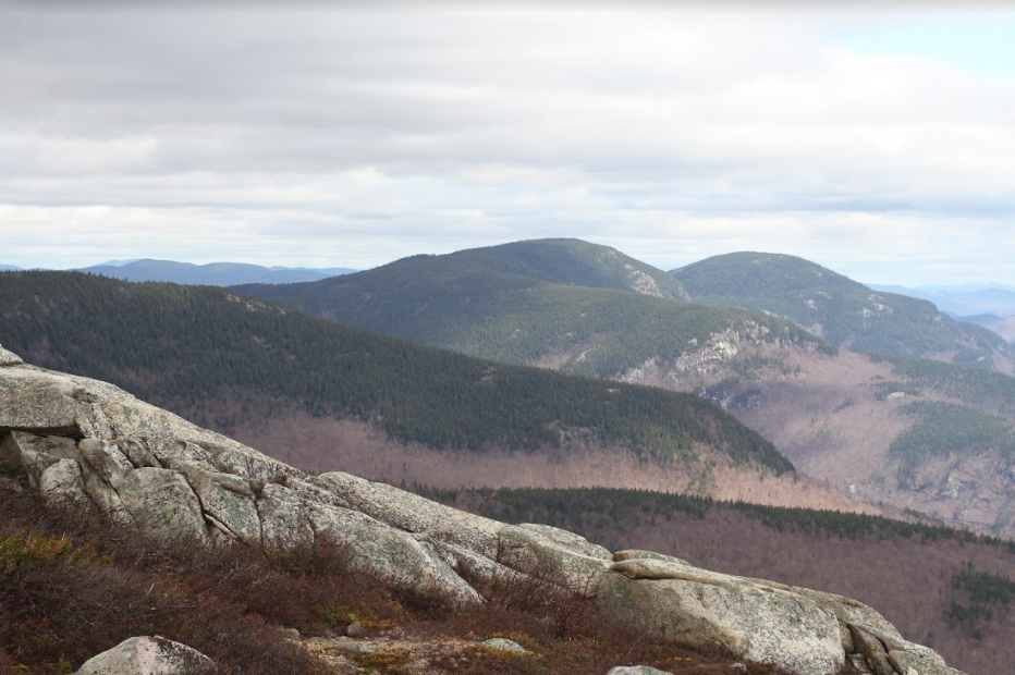
South Baldface Trail Views

Baldface Circle Trail


Andrea is a writer, hiker, and adventurer from New England. She enjoys snowboarding, sunrise hikes, winter, night hiking, traveling, and photography.