Saddleback Mountain is a 4,120 foot mountain located in Franklin County, Maine. It is the 8th highest peak in the state of Maine and one of the fourteen peaks with a topographic prominence greater than 2,000 feet. The mountain is best known for its ski resort: Saddleback Maine Ski Resort, which is located on the north side of the mountain. The Appalachian Trail, which spans from Georgia to Maine, runs along the ridge of the mountain and crosses over the summit.
Elevation: 4,120 feet
Elevation gain: 2,752 feet
Distance: 6.3 miles
Duration (book time): 4.5 hours
Difficulty: Moderate
Trails
Appalachian Trail, Grey Ghost and Tri Color trails
This route will bring you up and over both Saddleback Mountain and The Horn. Start your hike at the Saddleback base lodge and follow the road up the Wheeler Slope to the Grey Ghost and Tri Color trails. Tri Color trail will lead to the top of the Kenebago Quad, and a short narrow path will then lead you up to the summit of Saddleback. The entire route is very rocky, and follows along a well beaten ski path most of the way up. Once you reach the top, make a left turn onto the Appalachian Trail until you reach the summit of Saddleback Mountain. To continue over to the Horn, continue hiking on the AT for another 1.6 miles until you reach the summit. To descend, retrace your steps the way you came back down to the ski area parking lot.
Trail Map

Camping And Overnight Hiking Options
There is a campsite with a reliable water source available to hikers at the Piazza Rock shelter, approximately 1.4 miles from the trailhead. This campsite is managed by the Appalachian Mountain Club and a caretaker is present during the regular season.
Hiking In Winter
Hikers should be aware that snow fields may exist on the trail into late May. Carry snowshoes and traction until the snow melt is completely gone. Many hikers will choose to snowshoe up to the summit and ski down the trail during the winter season.
Weather Forecast
Here is the next four days of weather for Saddleback:
Farmington, ME
Overnight
Clear, with a low around 18. Northwest wind around 10 mph.
Friday
Sunny, with a high near 43. Northwest wind around 10 mph.
Friday Night
Mostly clear, with a low around 26. Northwest wind 5 to 10 mph.
Saturday
Sunny, with a high near 50. Southwest wind around 5 mph.
Saturday Night
A chance of rain showers between 2am and 3am, then a chance of rain and snow showers. Mostly cloudy, with a low around 36. South wind around 5 mph. Chance of precipitation is 30%.
Sunday
A chance of rain showers. Mostly cloudy, with a high near 52. Chance of precipitation is 30%.
Sunday Night
A chance of rain showers before 2am. Mostly cloudy, with a low around 42. Chance of precipitation is 30%.
Parking
The parking area for this hike is at the Saddleback Maine Ski Resort on Saddleback Mountain Road in Rangeley, Maine.
Directions
Take route 16 North towards Rangeley, Maine. You will then continue onto route 4 South. Make a left turn onto Dallas Hill Road, followed by a sharp right turn onto the Saddleback Ski Area access road. There is plenty of parking available near the Main Lodge.
Directions to Saddleback Maine Ski Resort:
Additional Photos
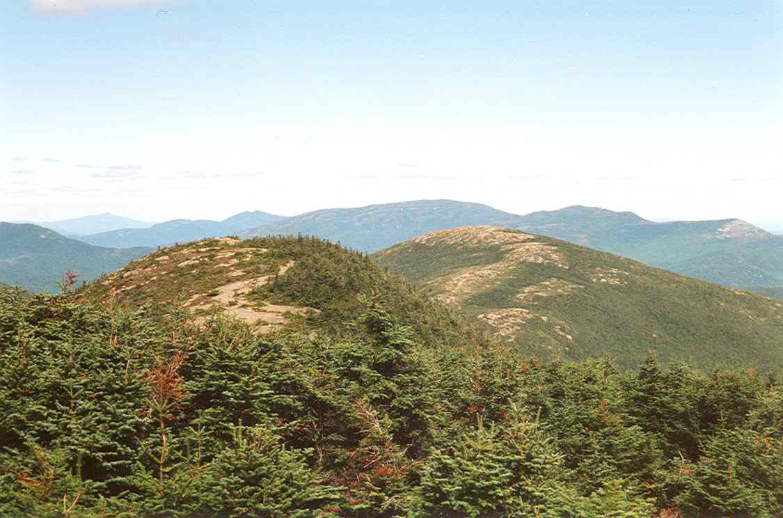
Photo credit – Wiki Commons
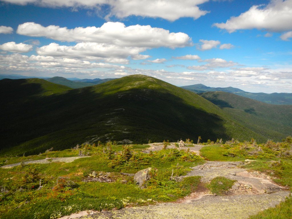
Photo credit – John Hayes

Andrea is a writer, hiker, and adventurer from New England. She enjoys snowboarding, sunrise hikes, winter, night hiking, traveling, and photography.