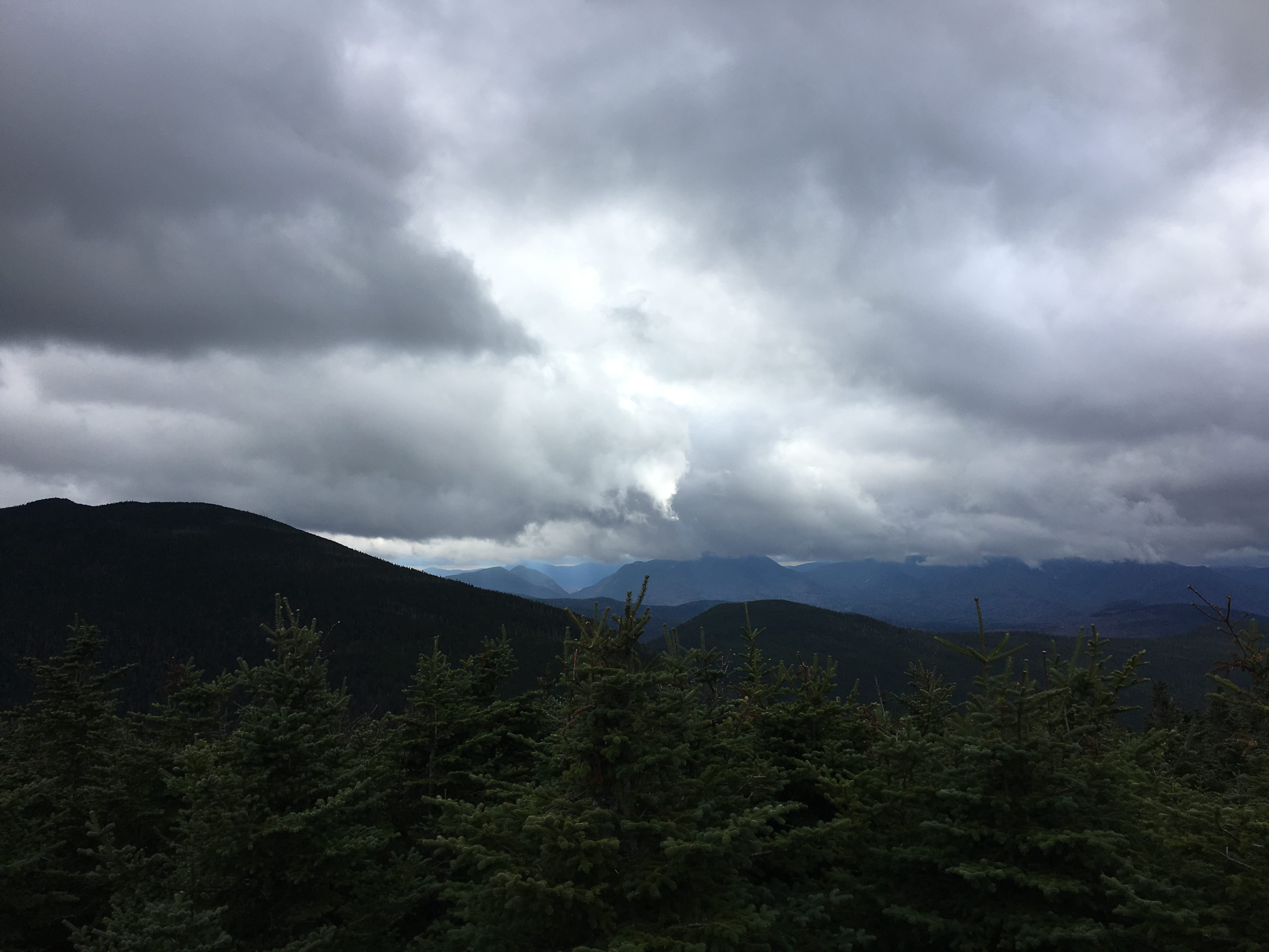
Interested in hiking in the White Mountains of New Hampshire? There are options for all age levels, experience levels and interests. This post will...
White Mountains Hiking: Everything You Need To Know About Hiking in NH
read more
Interested in hiking in the White Mountains of New Hampshire? There are options for all age levels, experience levels and interests. This post will...
Mount Waumbek is a 4,006 foot mountain located in the Pliny Range in the White Mountains of New Hampshire. It is the 3rd shortest of the 48 New...
Mount Hale is a 4,055 foot mountain located in the Twin Range in Bethlehem, New Hampshire, Grafton County in the White Mountains. The shortest trail...

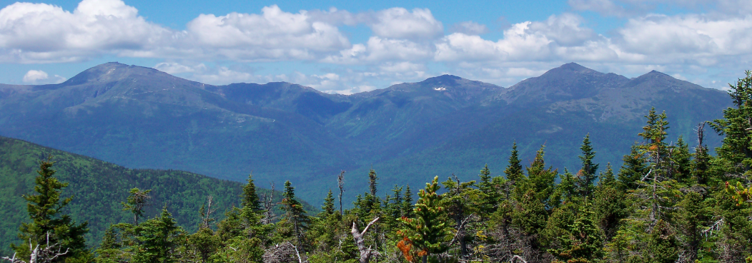
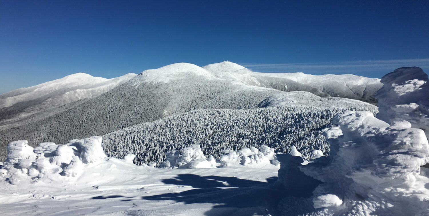
Mount Jefferson is a 5,712 foot mountain located in the Presidential Range of the White Mountains of New Hampshire. It is the third tallest mountain...
Mount Monroe is a 5,372 foot mountain in the Presidential Range in the White Mountains of New Hampshire. It is the 4th highest mountain on the...
The summit of Mount Moriah is located at 4,049 feet, and 5 miles Southeast of Gorham, NH. It lies within the Carter-Moriah Range in the White...
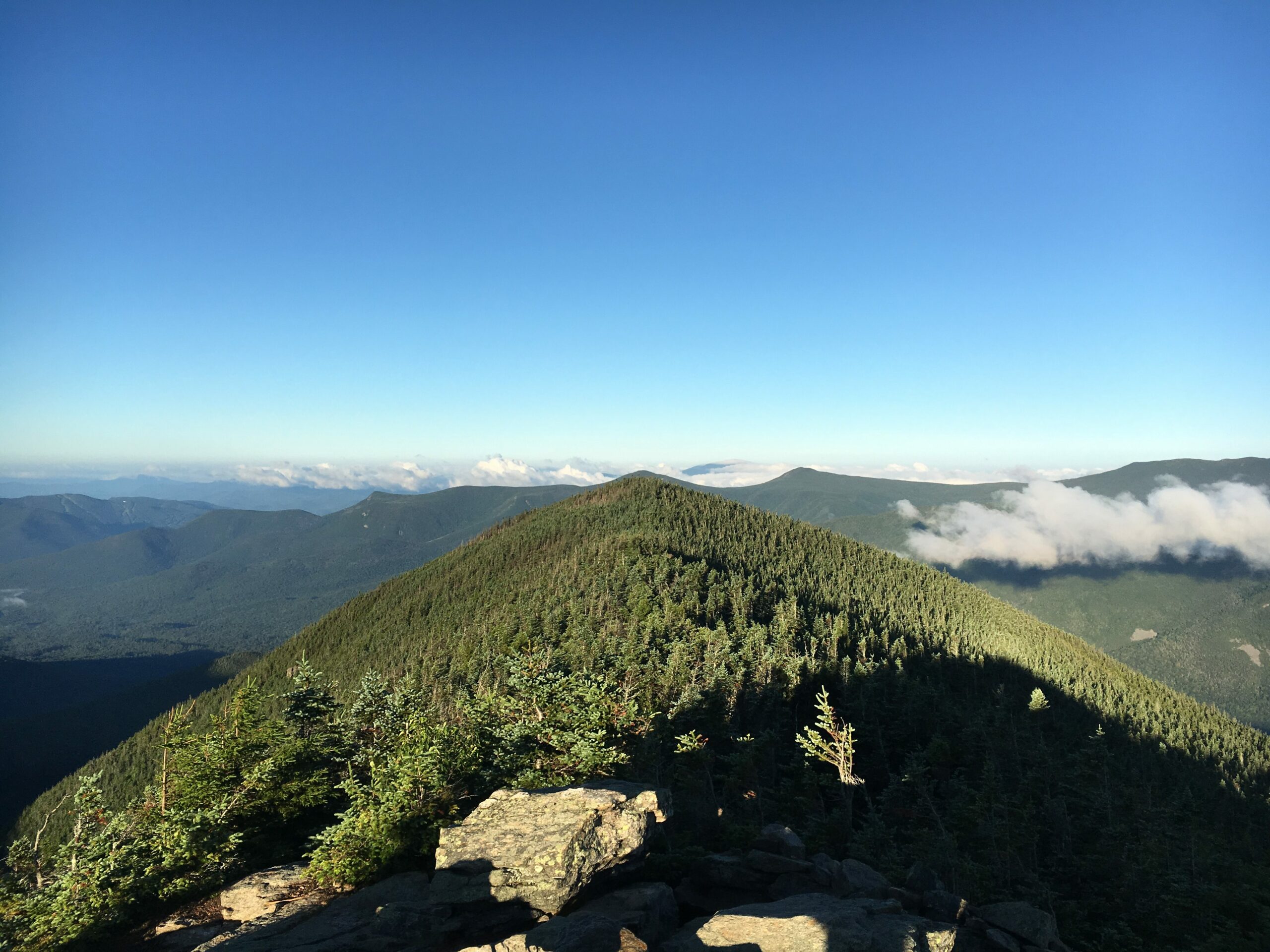
Mount Passaconaway sits at 4,043 feet in the Sandwich Range in NH. It is most frequently hiked in conjunction with Whiteface Mountain (4,019 feet)....
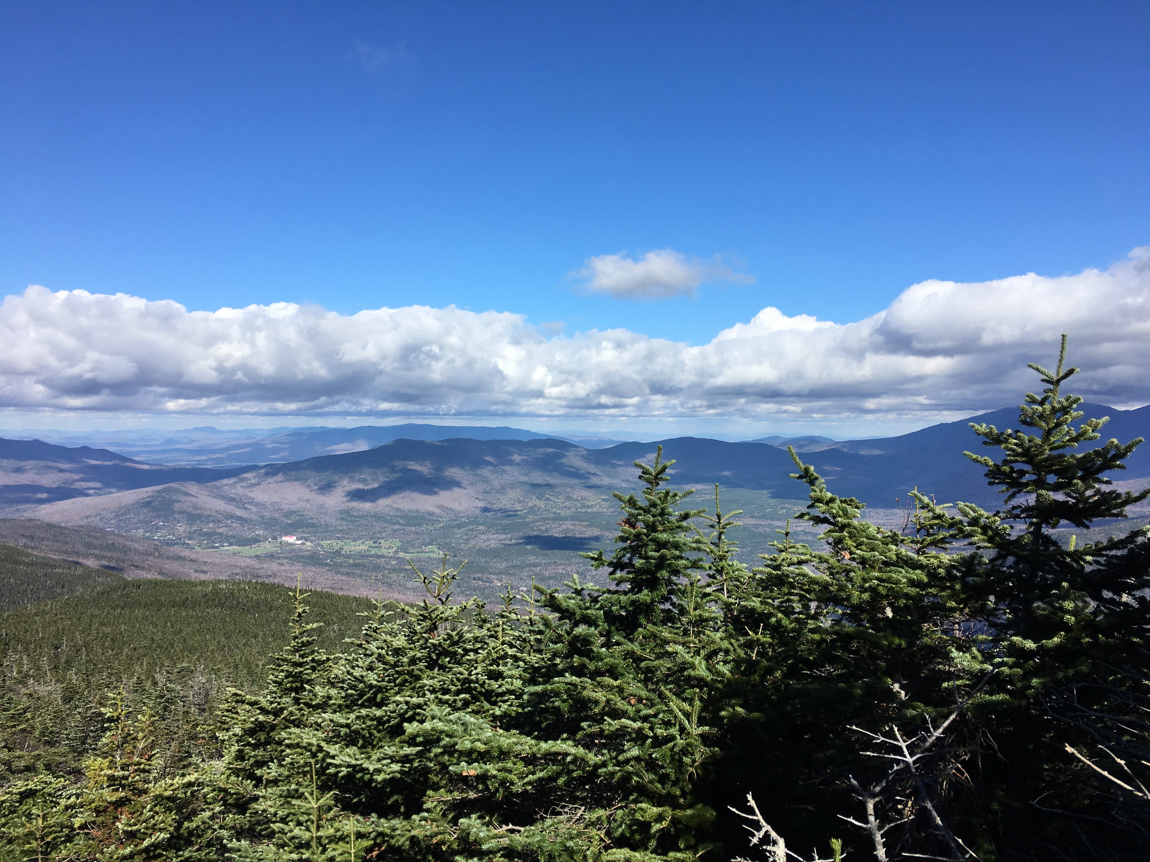
Mount Pierce is one of the best introductory 4,000 footers in NH. It features unreal views of Mount Washington and the Presidentials, it is located...
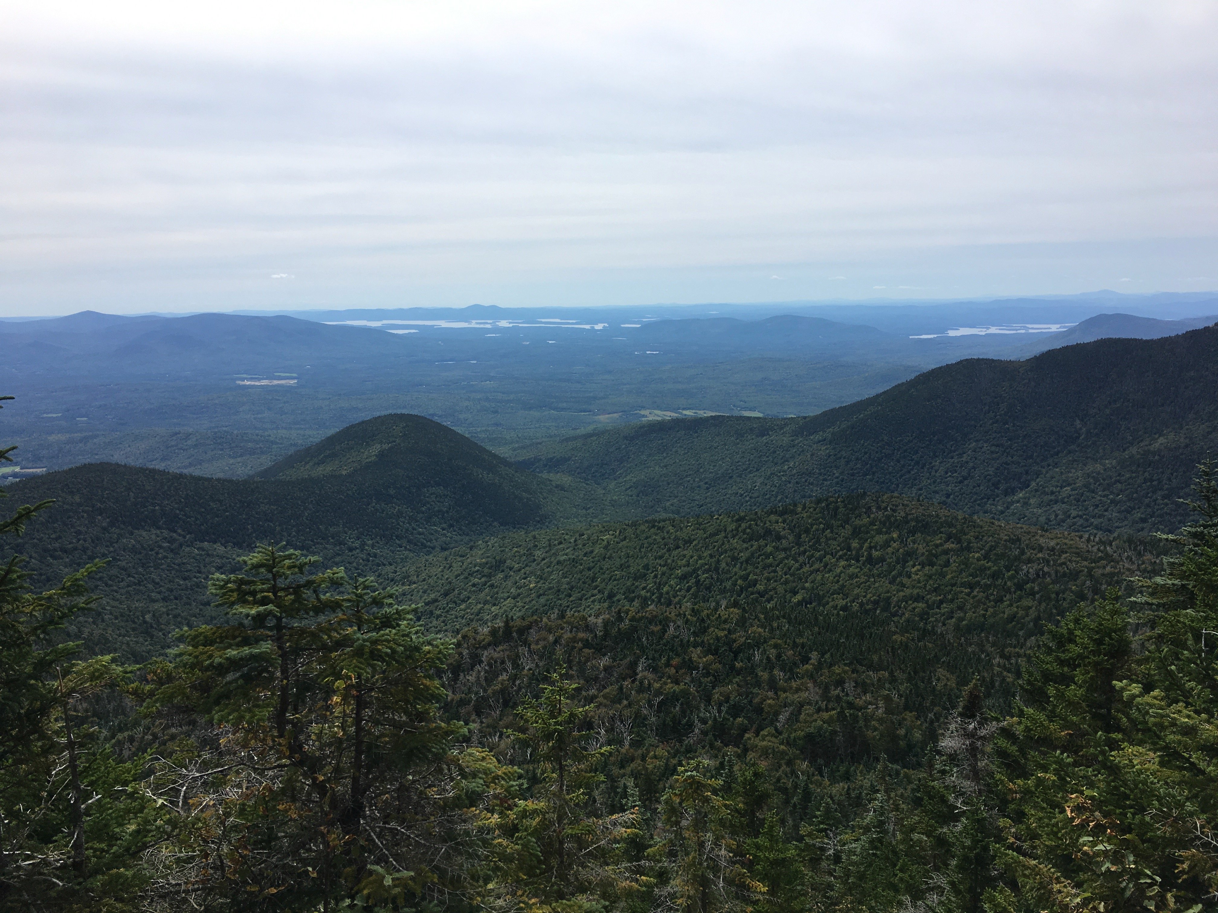
Mount Field is a 4,340 foot mountain in the Willey Range in Bethlehem, NH. It is most often hiked in combination with Mount Tom and Mount Avalon,...
Mount Tom is a 4,051 foot mountain in the Willey Range in Bethlehem, NH. It is most often hiked in combination with Mount Field, and also frequently...
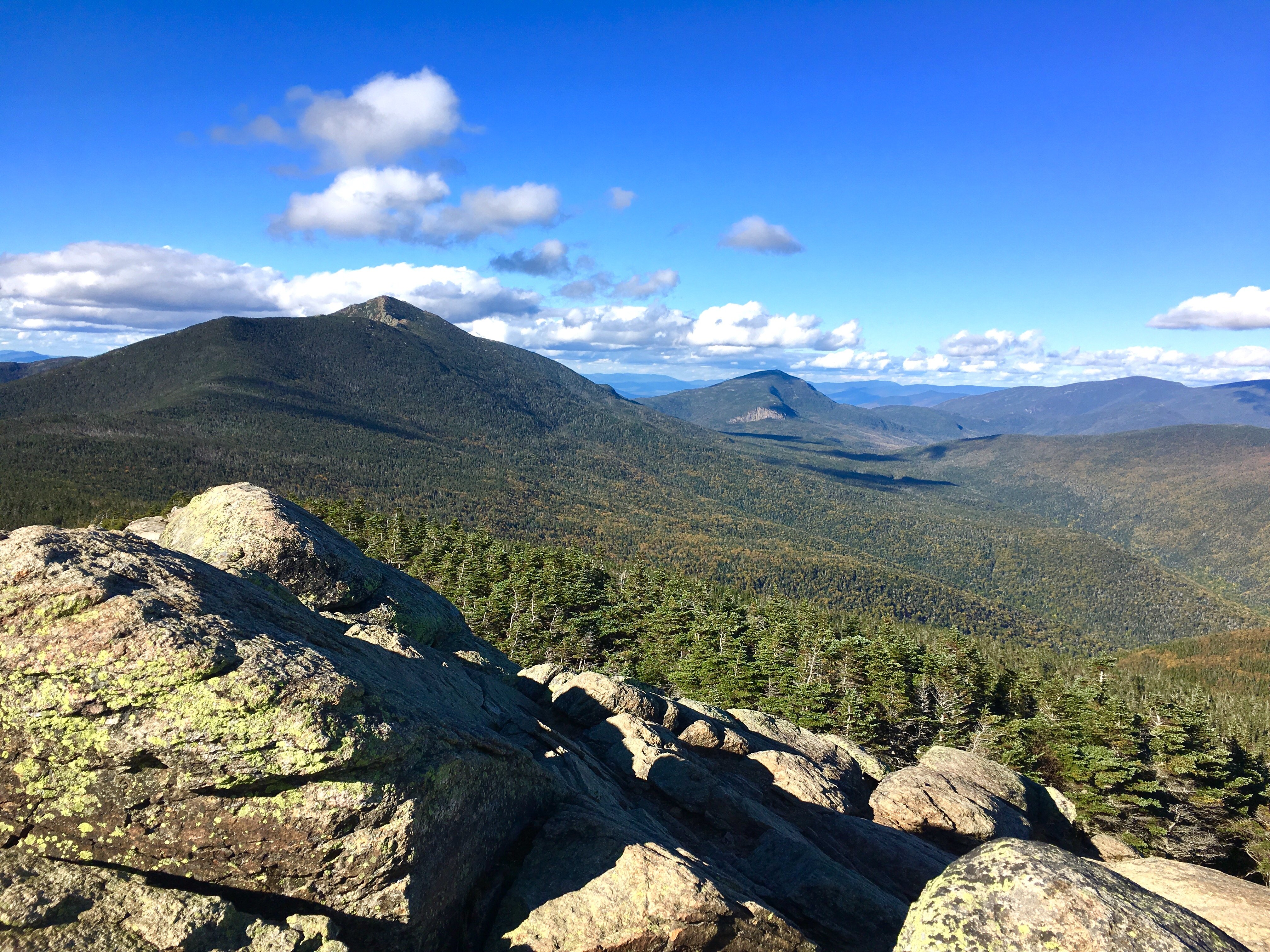
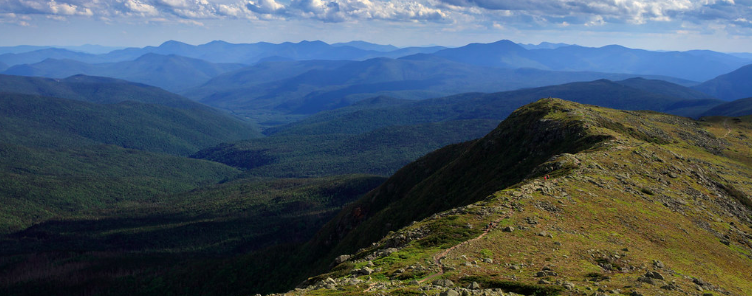
Mount Flume lies on the southern end of Franconia Ridge and features stunning views of Franconia Notch, the Pemi Wilderness and the rest of...

West Bond Mountain is situated in the eastern portion of the Pemigiwasset Wilderness, and features some of the most spectacular sunset views,...