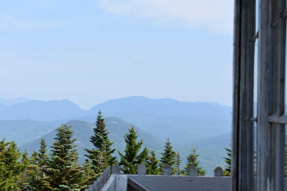
Kearsarge North is a 3,268 foot mountain located in Carrol County of the White Mountains in New Hampshire. The summit features a fire tower with...
Mount Kearsage North Hiking Trail Guide: Map, Trail Descriptions, Pictures & More
read more
Kearsarge North is a 3,268 foot mountain located in Carrol County of the White Mountains in New Hampshire. The summit features a fire tower with...
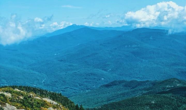
Camel's Hump is located in the Green Mountains of Vermont. It is the third highest peak in the entire state, standing at 4,083 feet in elevation....
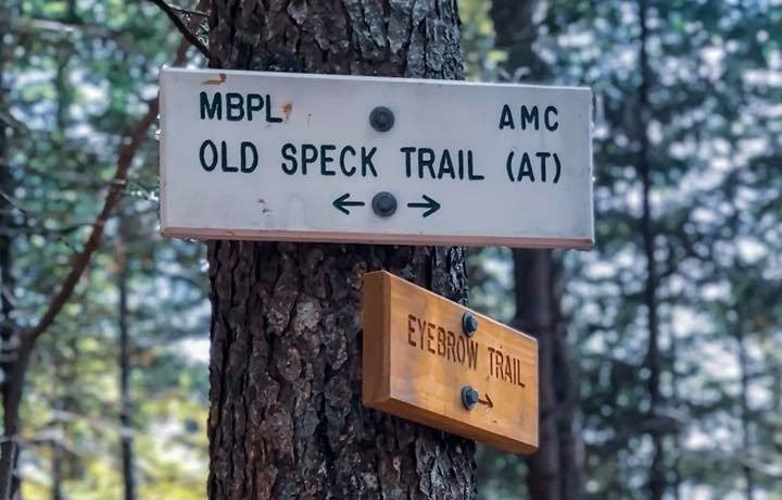
Old Speck Mountain is a 4,170 foot mountain located in the Mahoosuc Range in Oxford County, Maine. It is also part of the Eastern White Mountains...
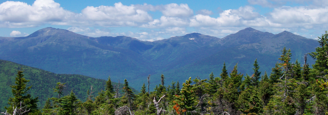
Middle Carter Mountain is a 4,610 foot mountain located in the Carter-Moriah Range in the White Mountains of New Hampshire. The summit of Middle...
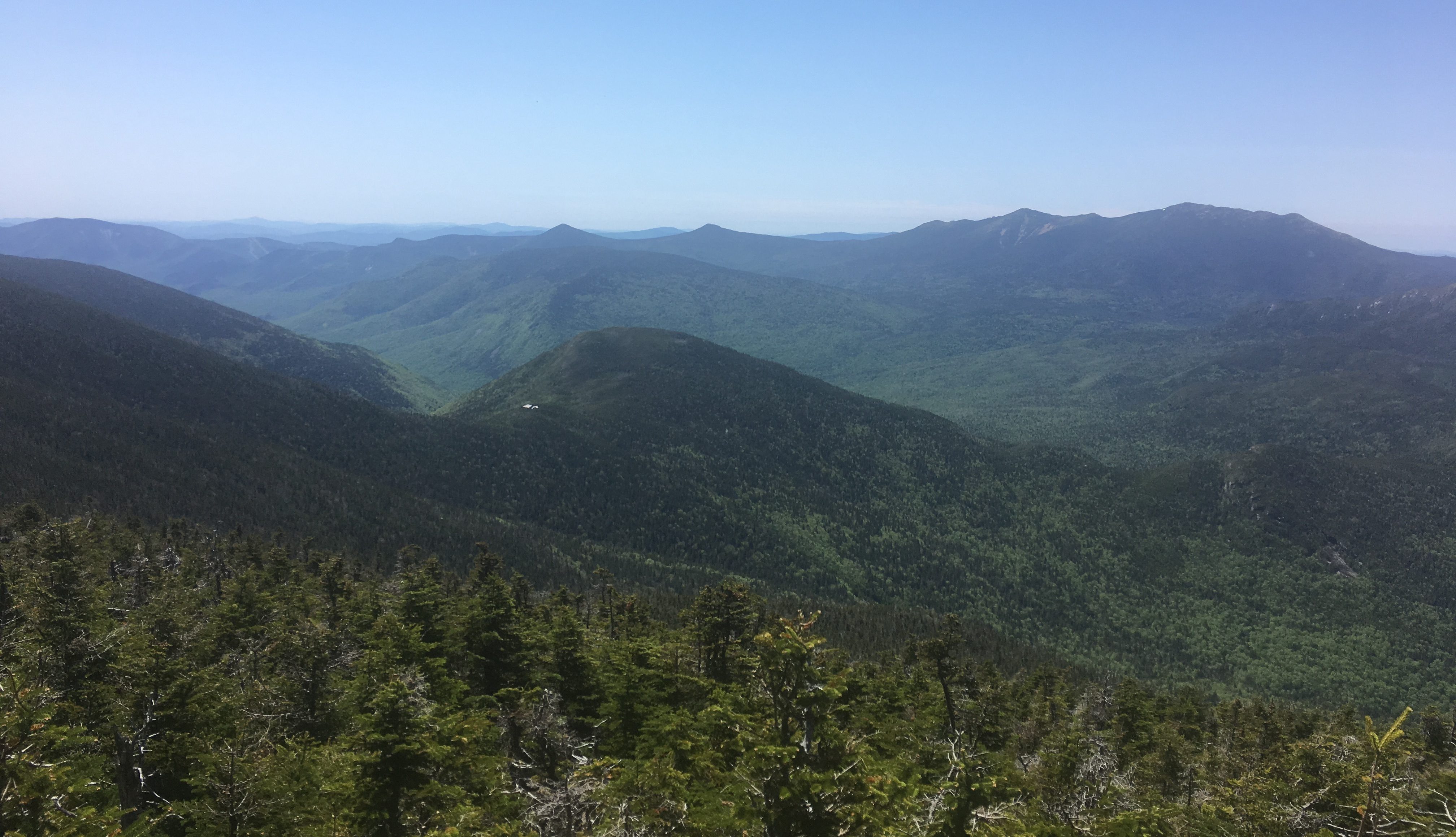
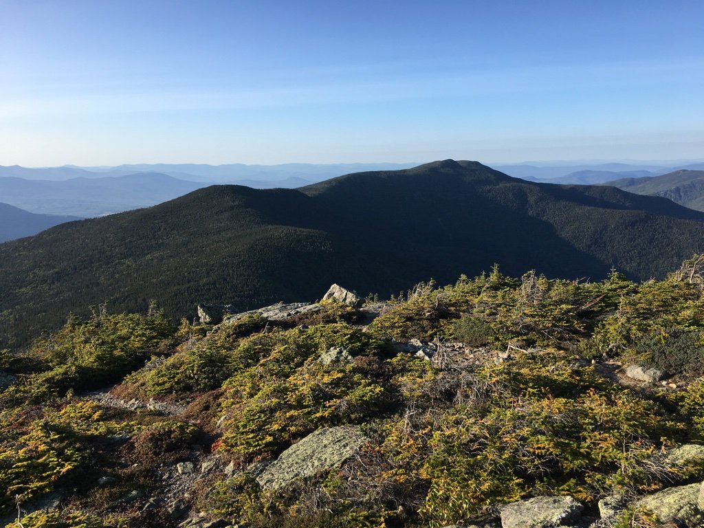
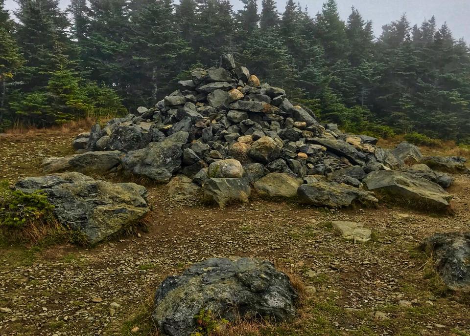
Galehead Mountain is a 4,024 foot mountain in the Twin Range in Franconia, New Hampshire in the White Mountains. The summit itself does not have any...
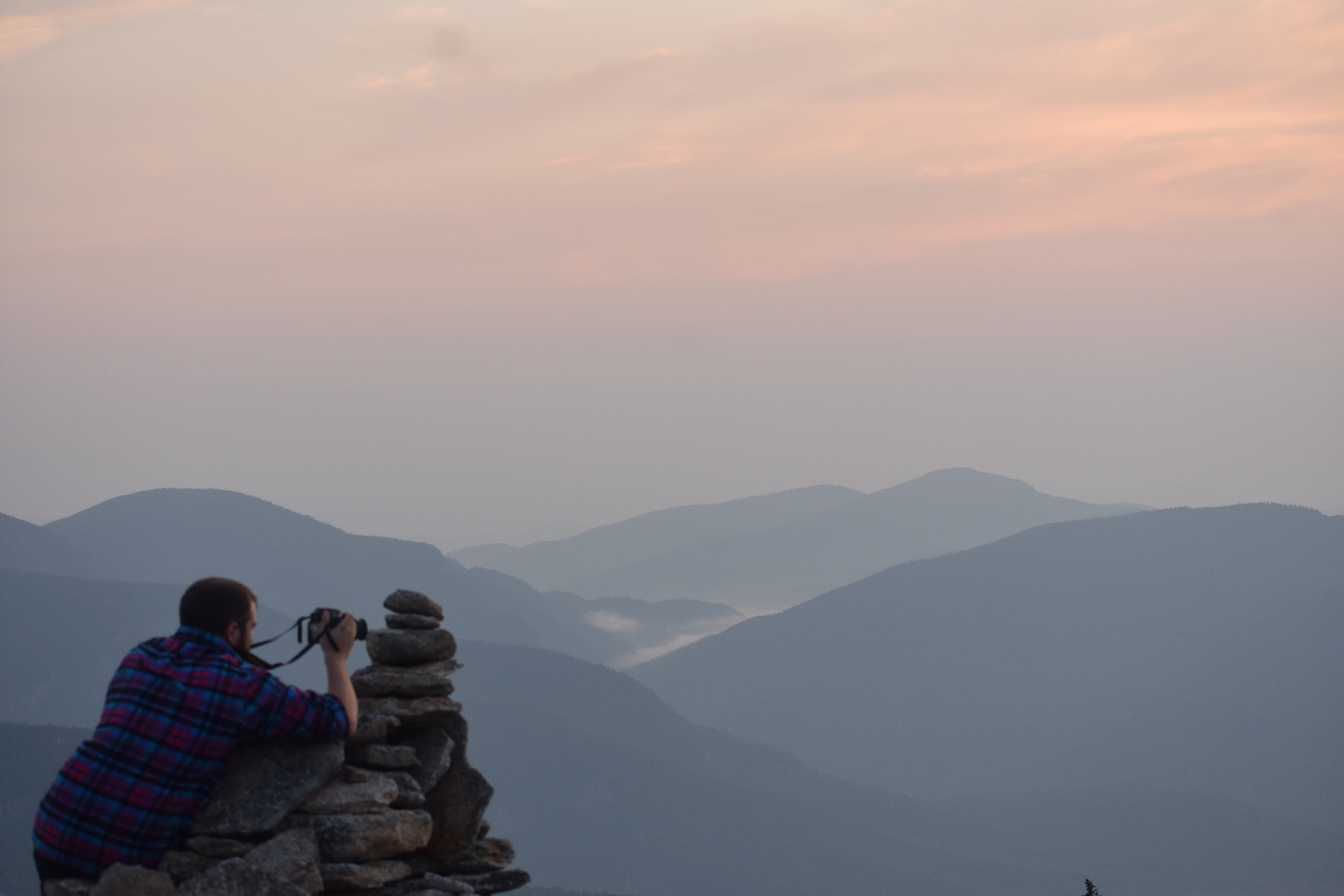
North and South Baldface are two peaks, involving a ridge loop hike offering nearly continuous views in all directions. They are located in...
Mount Avalon is a 3,430 foot mountain located in Grafton County in the White Mountains of New Hampshire. The beginning of the trail to reach the...
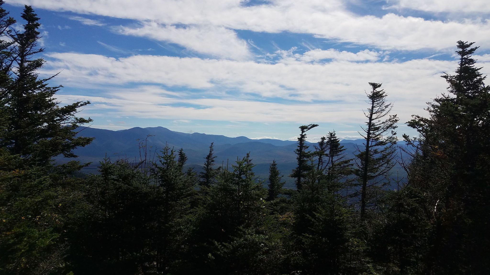
Mount Waumbek is a 4,006 foot mountain located in the Pliny Range in the White Mountains of New Hampshire. It is the 3rd shortest of the 48 New...
Mount Hale is a 4,055 foot mountain located in the Twin Range in Bethlehem, New Hampshire, Grafton County in the White Mountains. The shortest trail...
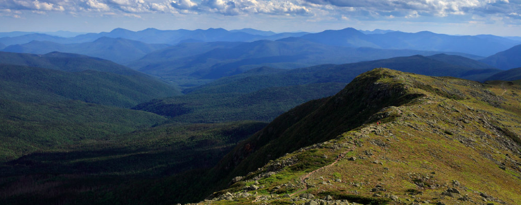
Mount Monroe is a 5,372 foot mountain in the Presidential Range in the White Mountains of New Hampshire. It is the 4th highest mountain on the...
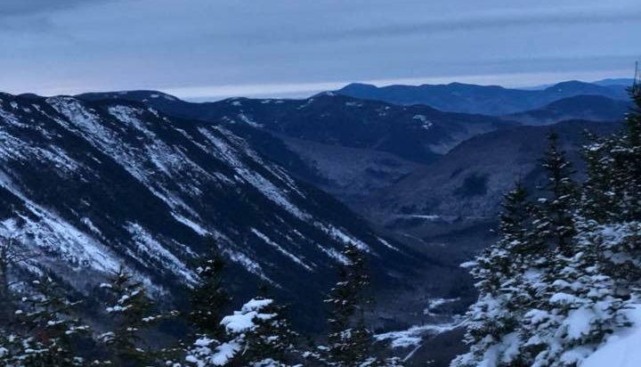
The summit of Mount Moriah is located at 4,049 feet, and 5 miles Southeast of Gorham, NH. It lies within the Carter-Moriah Range in the White...
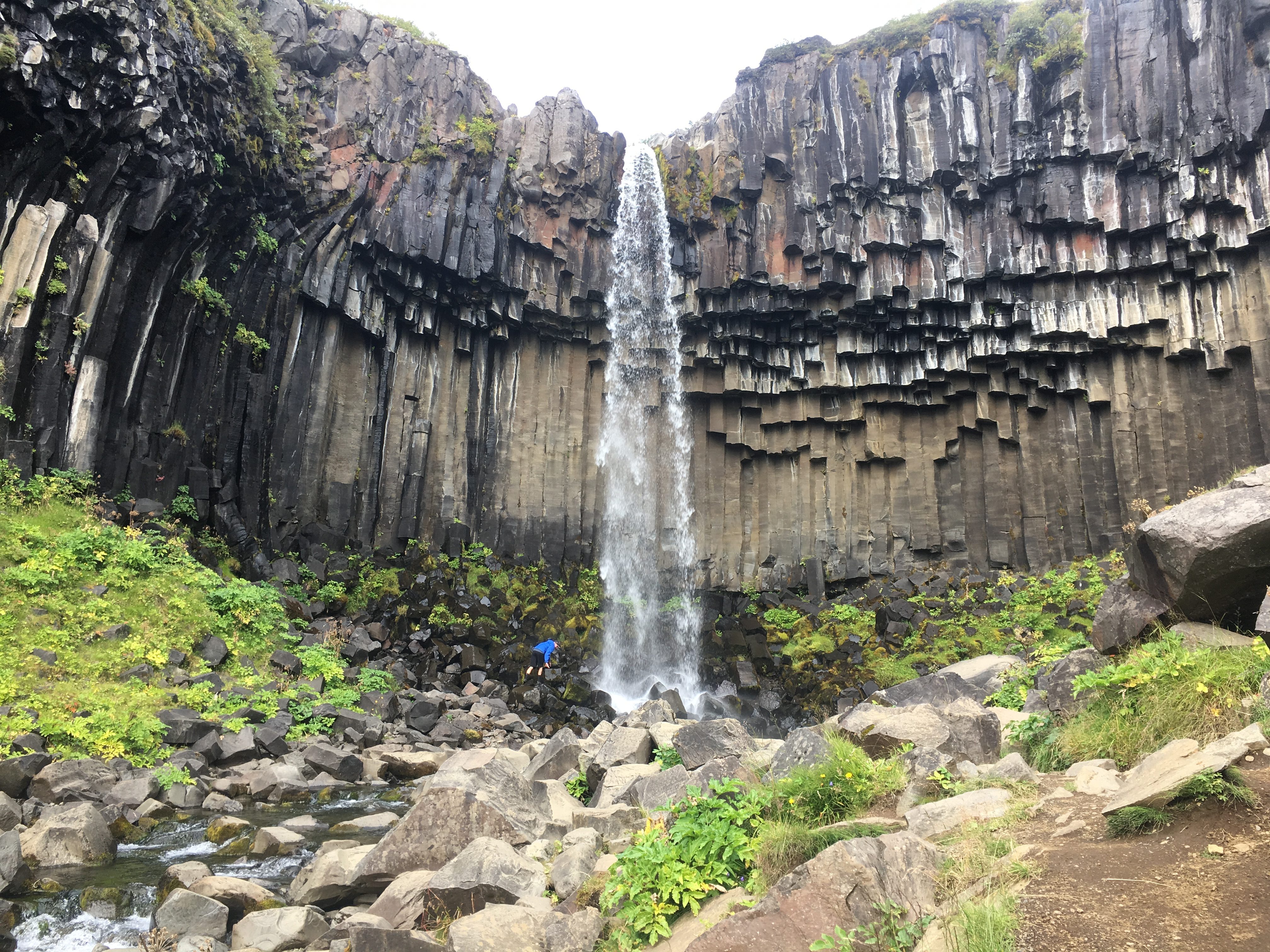
Difficulty: Easy Distance: 3 Kilometers Round Trip (1.86 miles) Waterfall Height: 20 Meters (65 feet) Elevation Gain: 140 Meters (460 feet)...